Analysis
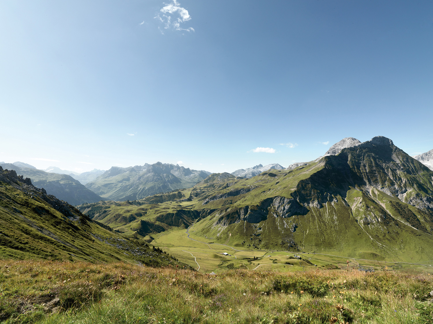
An analysis comprises the detailed collection of data about the actual state of the infrastructure (e.g. slope density, tourist accommodations, public transportation, parking, the restaurant business, ski-lift systems, snow grooming vehicles), local conditions (e.g. meteorological, topographical and environmentally relevant issues) and company data (e.g. cost structure, revenue) on the mountain and in the valley.
Geodata
The focus lies on management (assessment, acquisition and organization of both survey data and official data), administration (external data administration for our clients) and 3D visualization or 3D animation (construction projects or impact on the landscape are presented using either images or films).
Planning
An analysis is followed by a master plan or a partial plan comprising the following components: optimization (how existing areas can be improved), development (which potential can be activated) and feasibility (whether an idea is feasible at all). We determine individual implementation phases and generate an investment plan in close cooperation with our clients.
Individual project development
We individually customize our approach to clients’ requirements, from the development of presentation materials to submitting documents to local authorities, from the testing of variants to redevelopment concepts and project realization plans for slope construction and terrain corrections.